Nobody Loves Idlehour
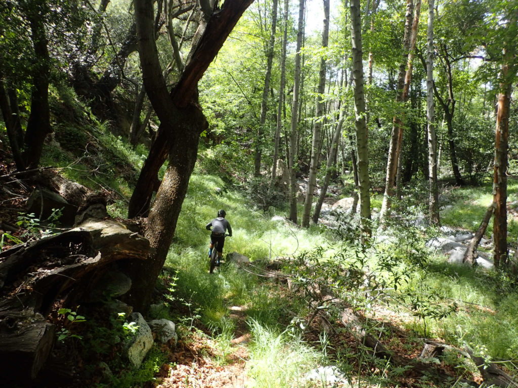
If you had to brand Lowelifes with a San Gabe’s trail that embodies the essence of our trail crew, it would be Idlehour. Why not Condor, you say? It’s not that it doesn’t. In fact, it totally does. It’s just that Idlehour was the catalyst to something like the Condor project. I remember my first trip across Idlehour. Of course I was solo and I remember thinking, “This is it!” I like to call Idlehour “the backcountry of the frontcountry.” It’s a place to feel “out there” even though you’re barely tucked into the folds of the San Gabriel’s.
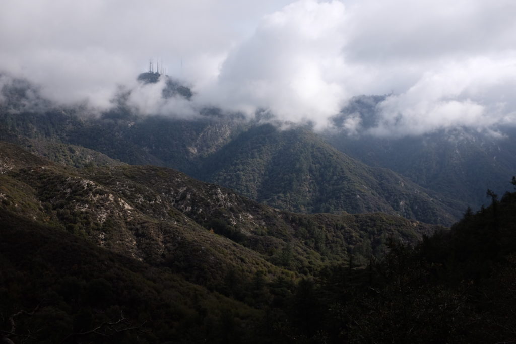
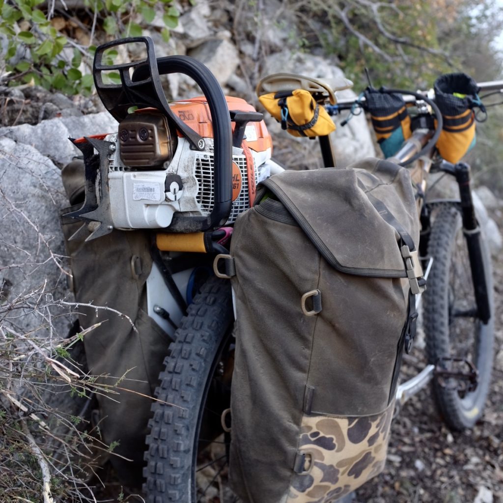
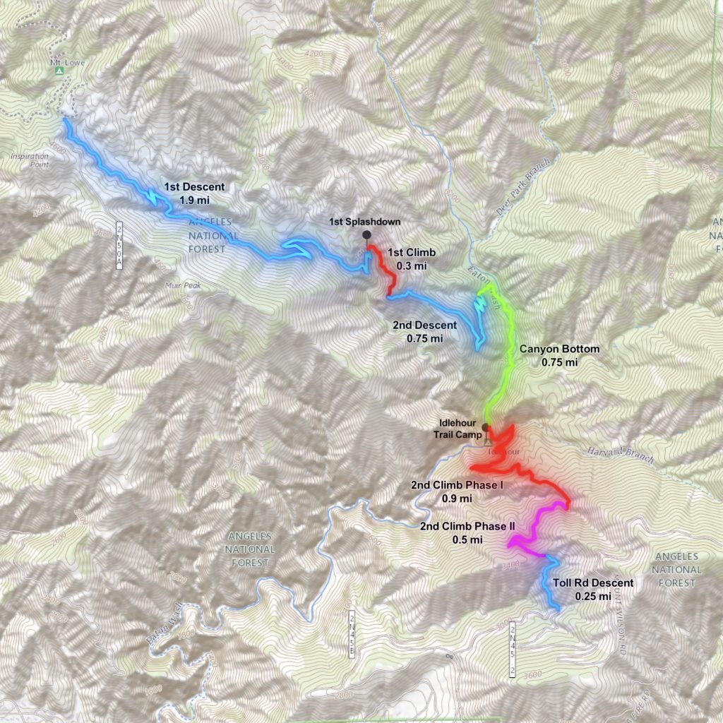
Last winter, we did a series of strike missions on Idlehour that mostly included chainsaw brushing from the Lowe Rd down to the first splashdown. We got a little side tracked finishing Condor and getting started on our Bobcat Fire rehab work, but we got back out there a couple months ago and tackled the yucca on the second descent from the Lowe side. More recently, we cleared most of the poison oak from the Toll Rd all the way through the canyon bottom. Overall, the trail is jamming but could use some more brushwork and a little tread work in the same problem spots we have each year.
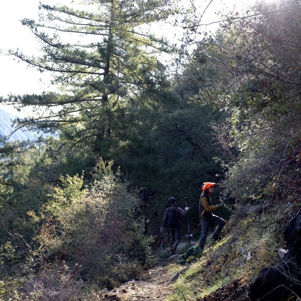
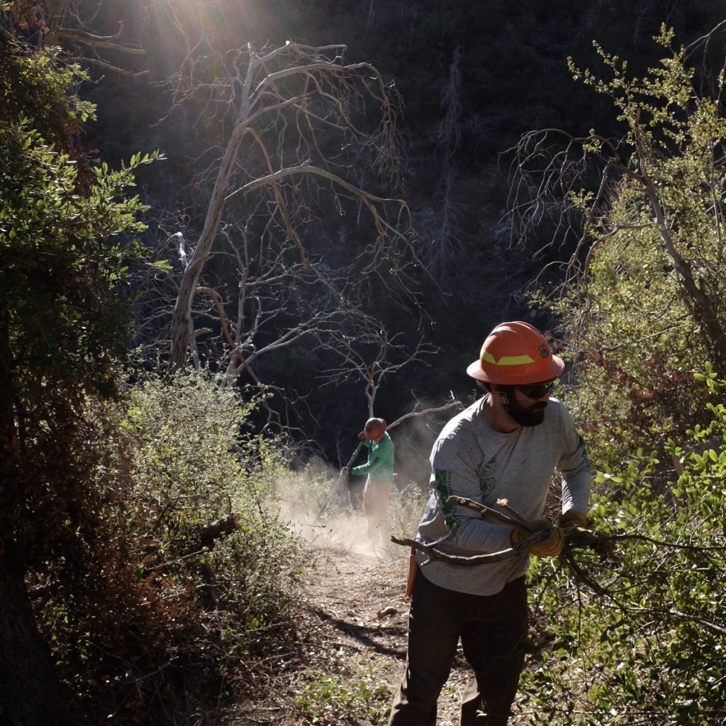
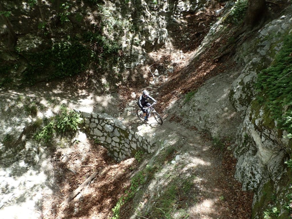
Like all great trails in the Angeles, it doesn’t come without some effort. The “Idlehour Pit” demands hard work no matter which direction you ride it. That hard work comes with a lot of perks besides it being a super fun trail: old growth bigcone Douglas-firs, water-filled canyons, diverse native flora, rich wildlife, and lots of shade. The downside to this majestic trail for some could be the hard effort required or the abundance of mosquitos, ticks, and poison oak most of the year. This doesn’t bother a true Lowelife one bit. If fact, Lowelifes don’t mind plucking a tick out of their butt cheek or dealing with a p-oak rash most of the year. Whatever… It’s par for the course if you call these mountains home.
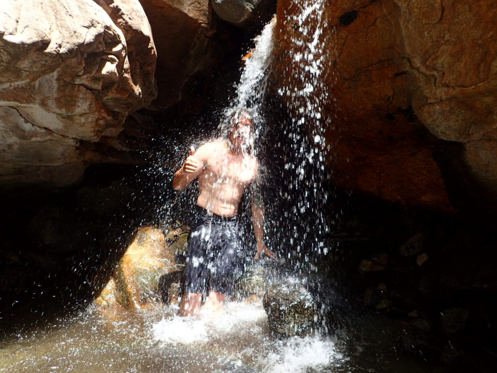
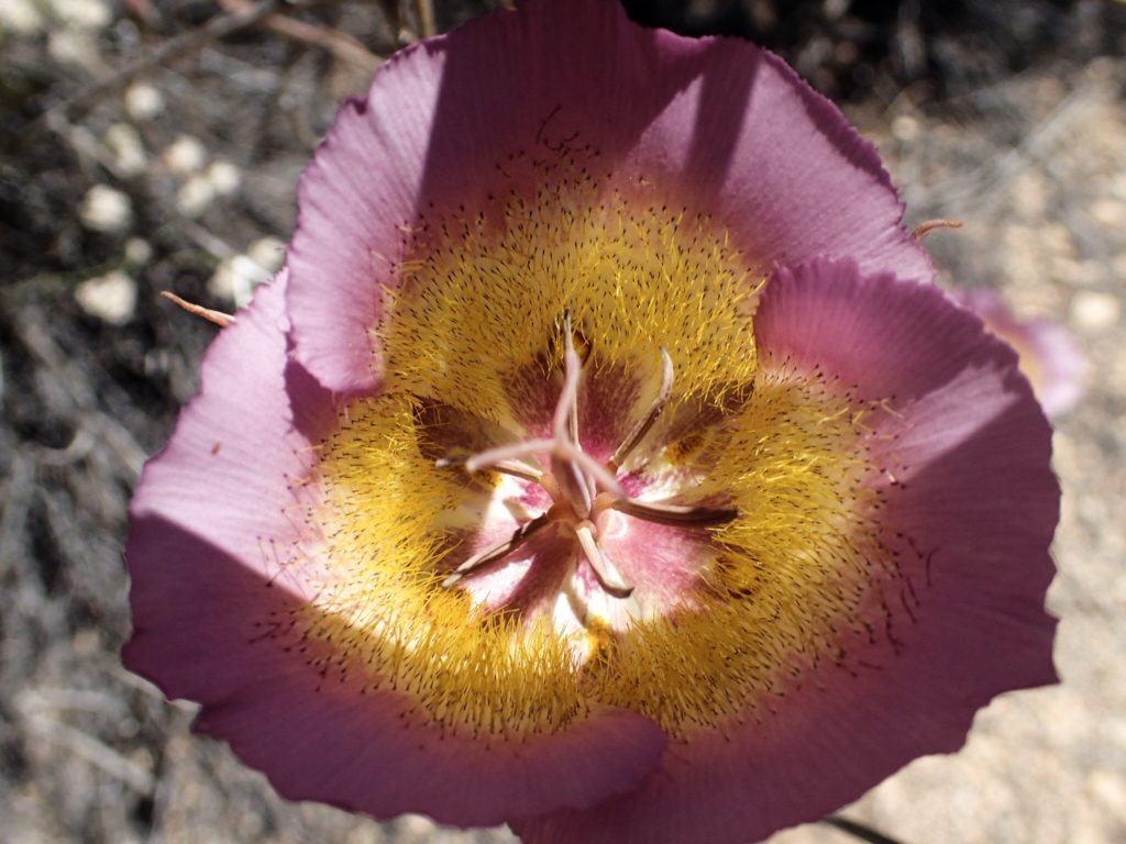
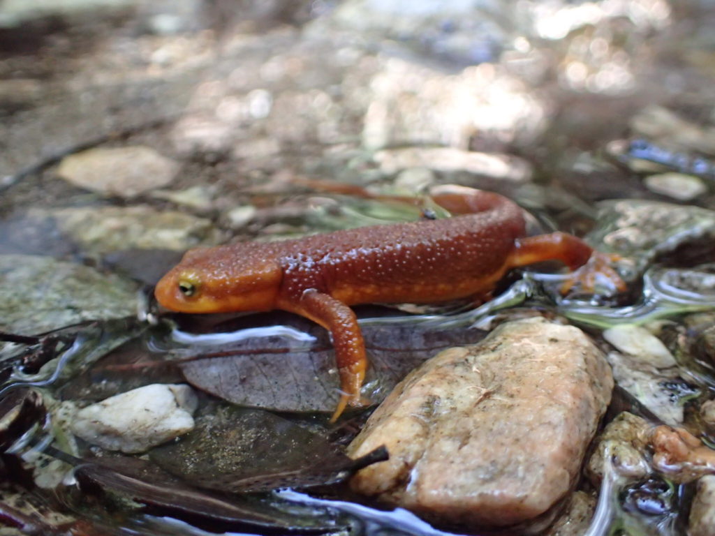
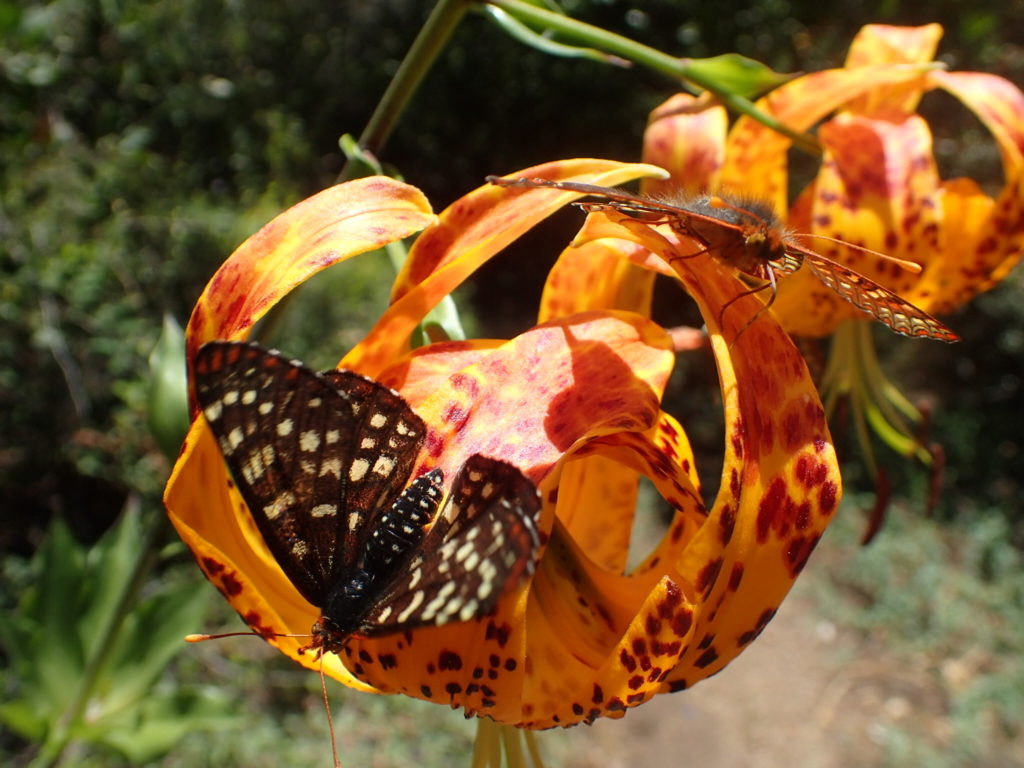
Eastbound or from the Lowe Rd side, you have two big descents with a splashdown at the Alpine Branch then a small climb in the middle before you reach the canyon bottom. Meandering downstream in the majestic canyon bottom along Eaton Creek is special. Humboldt lilies, Plummer’s mariposa lilies, soap plants, San Bernardino larkspur, clarkia, ferns, Pacific newts, Arroyo toads, mountain lions, bears… Yup, my scariest aggressive bear encounter was right near Idlehour Trail Camp. After a beautiful trip down the canyon bottom only crossing Eaton Creek once, you’ll pass the Trail Camp, and begin the steep, two-tiered climb followed by a short descent to the Toll Rd. The other direction… you guessed it… rip down to the Trail Camp, ascend the canyon bottom, then begin two big climbs back up to the Lowe Rd.
There are endless options to ride Idlehour. A simple loop using Toll Rd and Lowe Rd can be done either direction. If you’re not keen on loosing verticals on a fire road, go up Toll Rd and ride it westbound. You can finish with a rip down Middle Merrill and Sunset. If that’s not enough for you, climb up Lowe a little further and do Upper Merrill or Tom Sloane to Upper Dawn Mine… or better yet… Tom Sloane, Bear Canyon, and the Gab all the way back to JPL. Like I said, it’s endless.
The other direction… the “downhill” direction… we’ll start with the classic banger. Start with the big climb up the Toll Rd to Mt Wilson. Drop down Mt Wilson Rd to Eaton Saddle and pop through the tunnel to Upper Merrill. After descending Mt Lowe, ride down Idlehour to Toll Rd. And again… if you don’t want to loose that vert on a dirt road… Climb back up the Toll Rd to Manzanita Ridge and do Mt Wilson Trail. Or point your bike towards Chantry once the Closure Order is lifted.
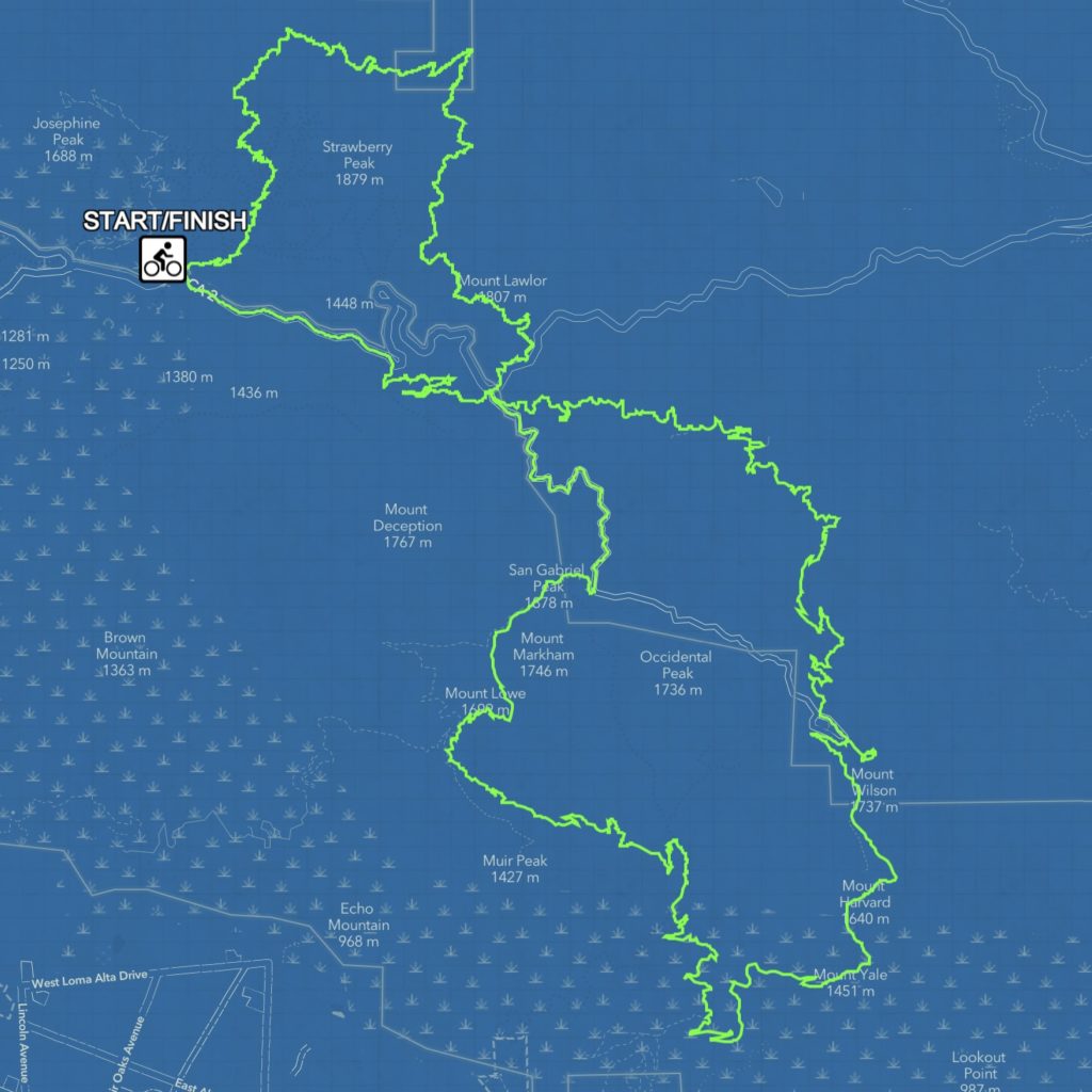
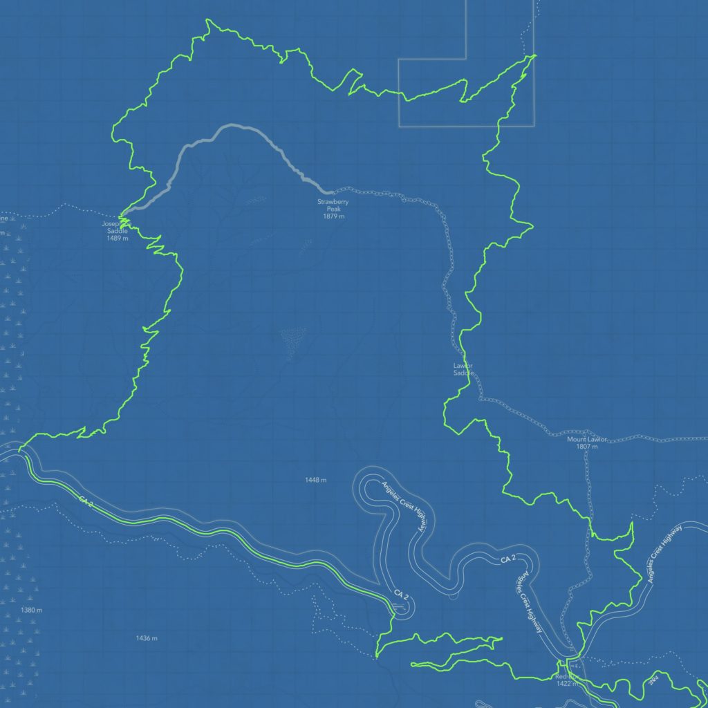
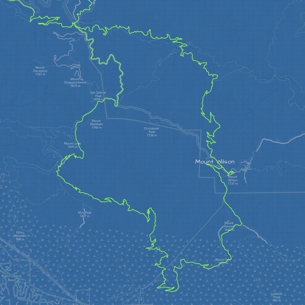
Next up is perhaps the best, but also is currently not possible due to the Bobcat Closure Order. However, we are working hard to fix up Kenyon Devore right now to make this possible. Park at Colby Cyn trailhead at Highway 2. Climb the Gab up to Red Box and take Wilson Rd up to Eaton Saddle. Take Lowe Rd through the tunnel to Markham Saddle where you’ll jump on Upper Merrill towards Mt Lowe. Descend Upper Merrill straight into the Idlehour descent. After clawing your way out of the “Idlehour Pit,” ignore your tired legs and climb back up the Toll Rd to Mt Wilson. BRING CASH!!! If planned at the right time of the year, chili dogs and root beer floats at the Cosmic Cafe could be a lifesaver after the slog up the Toll Rd. When the Closure is lifted, you could then rip down Kenyon Devore AKA Rattlesnake Trail in the old days… a true classic backside track. If you like old growth forest and 800 foot per mile descents, this has your name on it. You can then use the Gabrielino or 2N24 to climb back to Red Box. Again, cash could come in handy here if the store is open at Red Box. The final leg of the journey is up Strawberry from Red Box. Then, turn left on Colby, traverse around the back of Strawberry, and descend all the way back to your car at Highway 2 for an epic day in the San Gabriel’s!
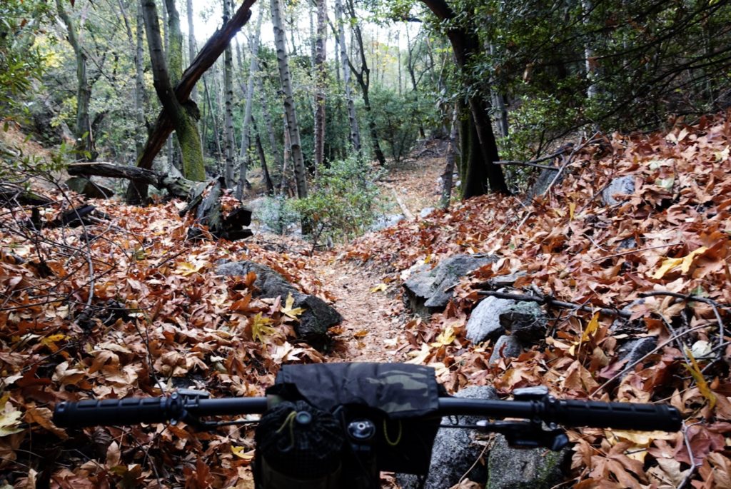
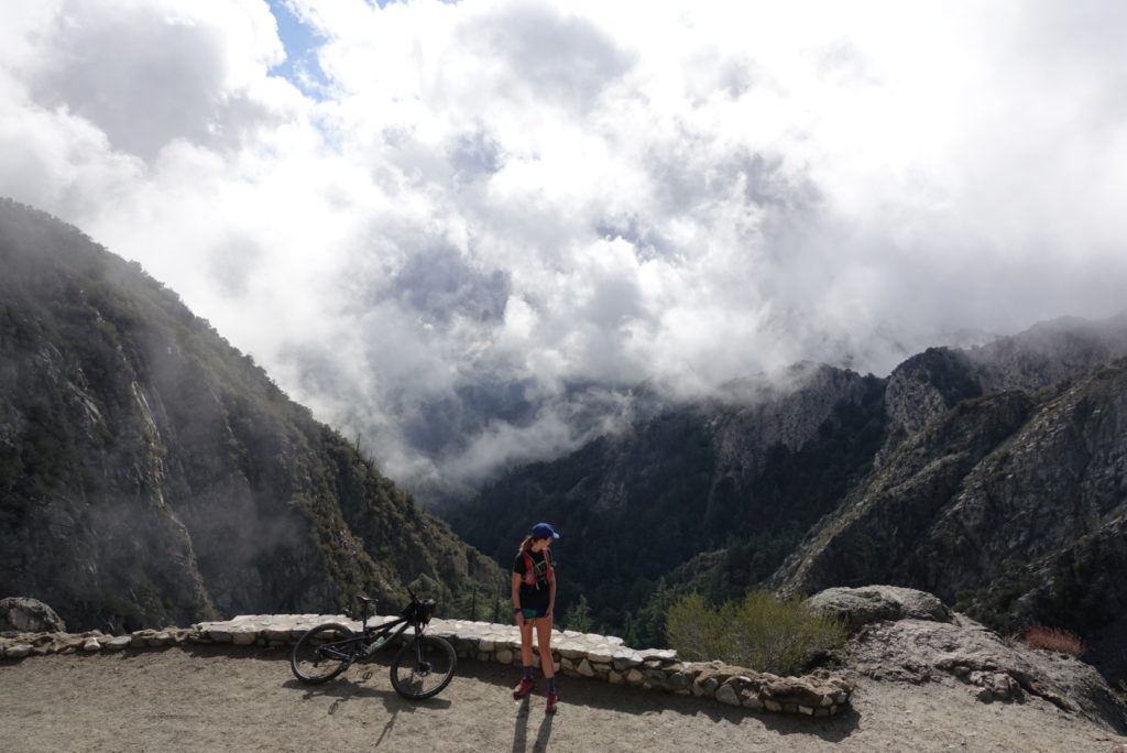
Recently, I did this route with trail crew member, Travis. He said it was around 38 miles and over 8k of vert. I believe him because my legs were definitely crispy by the end. We even tossed in a solid hour of tread work on Kenyon Devore. It was a ride to work type of day since the area is still closed from the Bobcat Fire. The options are endless… Get out there folks! Idlehour might not be for everyone but if this sounds like your jam, hurry up and get in touch with us!
