Condor Peak Trail Restoration Begins
Inaugural 2-Day Event and Campout at Lightning Point Campground 11/23-24/2019.
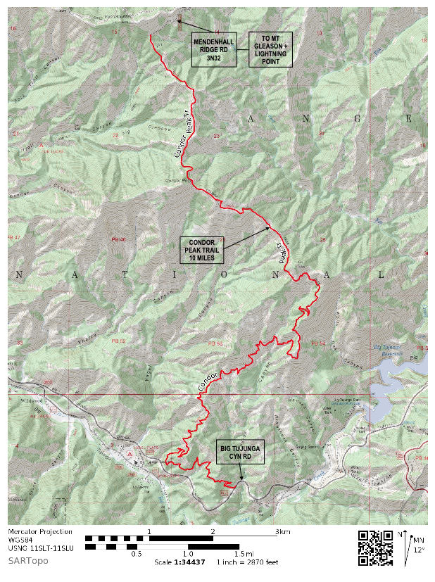
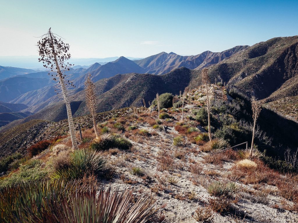
13W05 Condor Peak Trail overview
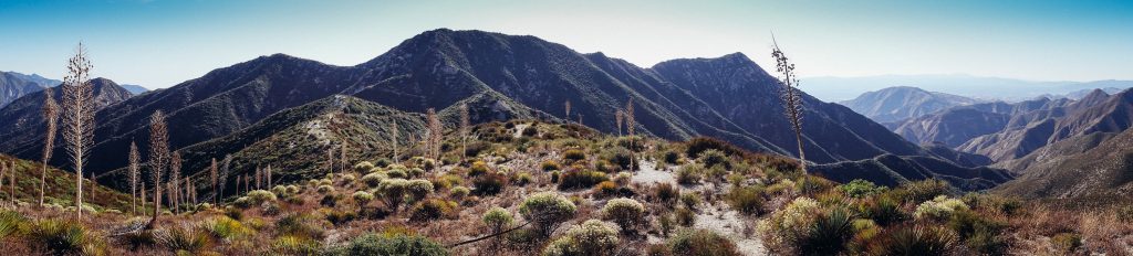
Approximately 10 miles long in Southern California’s Angeles National Forest, the trail begins at Big Tujunga Cyn Rd and climbs roughly 8.25 miles to its high point; the saddle below Condor Peak. For a summit of Condor Peak, there’s a short and steep ~250 foot scramble to the summit. The trail itself continues on for another ~1.75 miles to its ending termini at 3N32C a spur of Mendenhall Ridge Rd. The road spur is ~0.6 miles to the junction of 3N32 Mendenhall Ridge Rd near Indian Ben Saddle. At ~4.5 miles from the beginning termini at Big Tujunga Cyn Rd, the trail crosses a spring where Fusier Canyon intersects the trail. It is an excellent water source but should be filtered.
I spent 1 day with LAGRD Assistant Recreation Officer Bryce Hofmann scouting the logistics of the campout at Lightning Point Campground and access to the work site via 3N17 Mt Gleason/Santa Clara Divide Rd and 3N32 Mendenhall Ridge Rd. Another 2 days were spent with volunteers Erik Hillard and Eric Brunt scouting Condor Peak Trail from Big Tujunga Cyn to the saddle below Condor Peak. We used GIS to record the trail alignment, document project sites, and develop a plan.
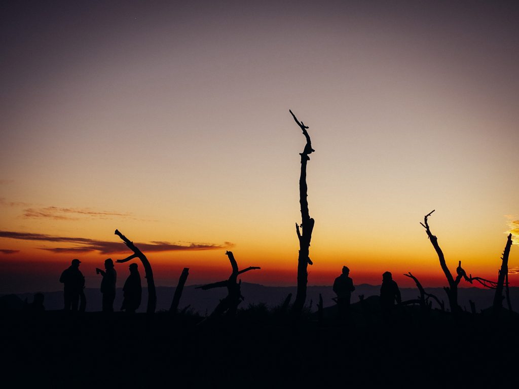
The actual trail work started on Friday 11/22 when Rob Petterson and I headed out to 3N32 Mendenhall Ridge Rd and 3N32C, a road spur that takes you to Condor Peak Trail, to clear brush for car access for the coming weekend’s event. Driving past snow on our way into the work site, we knew it was going to be a chilly campout this weekend. The outside temperature at Mill Creek was 36 degrees at 9:00. Lightning Point Campground sits at about 6,200 feet of elevation just below the summit of Mount Gleason overlooking Los Angeles County.
Rob and I spent about 3 hours clearing brush with chainsaw and hedger. Lots of thick Ceanothus leucodermis aka chaparral whitethorn but locally referred to as “buckthorn” was crowding the road with chamise, buckwheat, and yerba santa growing out of the center of the road. After clearing the brush and moving some rocks off the road, my Subaru Forrester easily made it to the staging area for trail work. Happy with our work, we made the long journey back down 3N17 to Mill Creek Summit and on home.
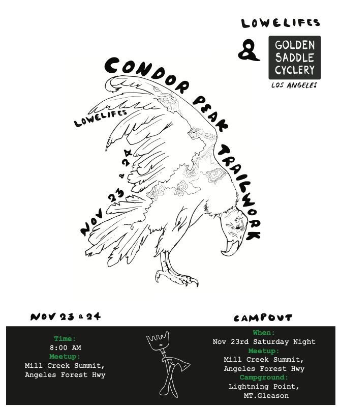
We used a combination of Instagram and Eventbrite to promote the event and had flyers and a poster at a local bike shop, Golden Saddle Cyclery, who helped promote, sponsor, and financially support the event. The flyer was designed and drawn by volunteer Stephanie Ortega featuring a California condor with actual GPS track of the trail and topo lines drawn onto the bird.
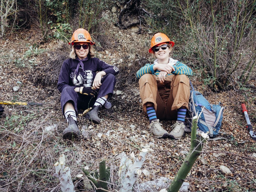
7:45 on a very windy and chilly Saturday, November 23rd at Mill Creek Summit, volunteers were beginning to arrive for the 8:00 meet time. After signing all the proper USFS forms, having a safety talk on driving forest roads, and equipping drivers with 2-way radios, at 8:30 we carpooled 10 miles up 3N17 to Lightning Point where volunteers could set up camp. Ray Juncal, an original Mt. Wilson Bicycling Association member, set up a build-your-own sandwich buffet while dedicated volunteer Ester Song brought snacks she had donated from GU Energy so volunteers could stay fueled for the long day of work.
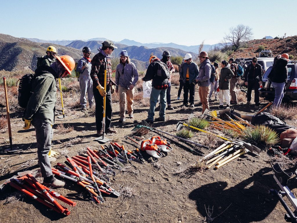
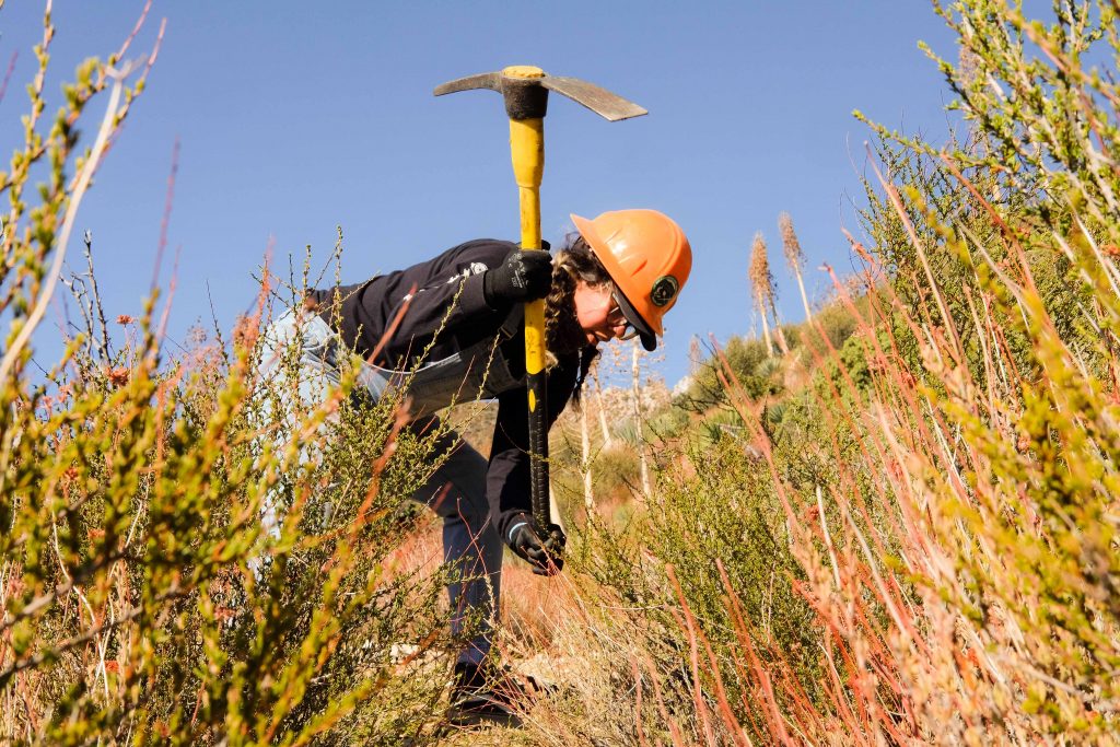
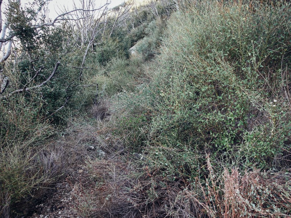
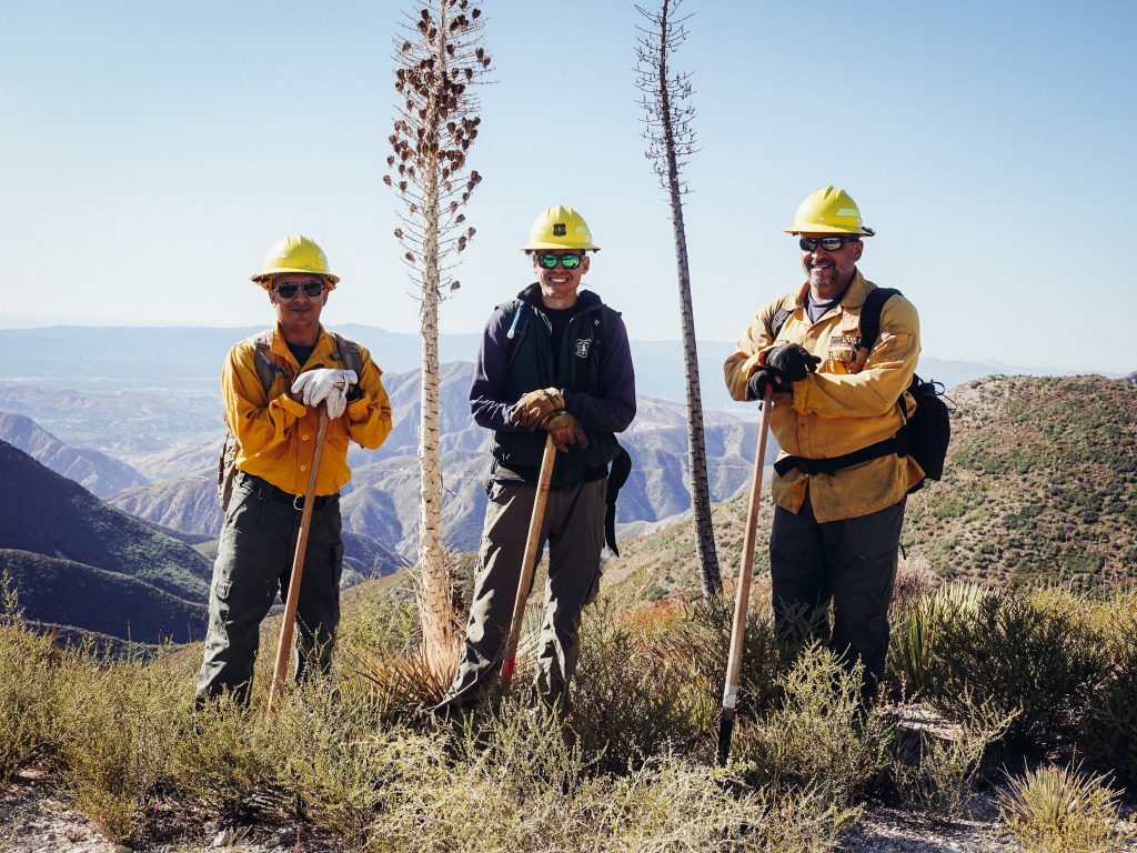
Before 10:00 we were all loaded into vehicles and on our way down 3N32 Mendenhall Ridge Rd towards Condor Peak Trail. After reaching the staging area at the end of 3N32C, conducting a tailgate safety talk, and informing volunteers on the type of work needed, we were working on the trail by 10:30. The work along this ~1.75 mile section of the trail from 3N32C to Condor Saddle is mostly removing Ceanothus, chamise, buckwheat, yucca, and yerba santa growing on the trail. The north facing sections are completely overgrown with Ceanothus while the south facing and more sun-exposed sections required less work removing chamise, buckwheat, yerba santa, and yucca.
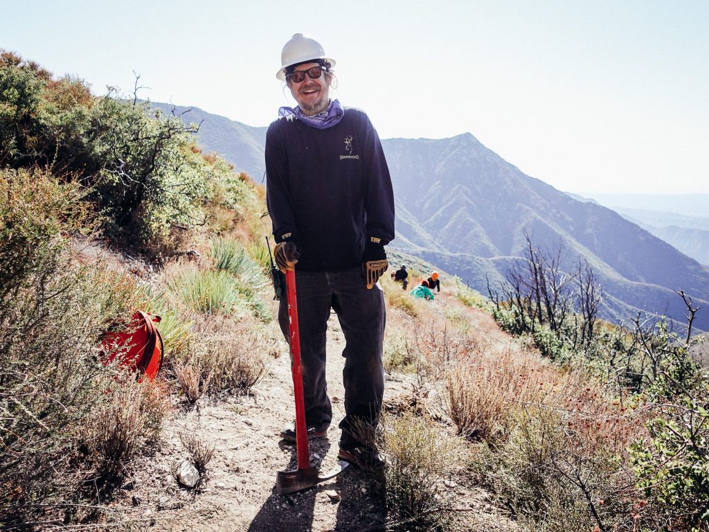
The ~1.75 mile section from 3N32C Mendenhall Ridge Rd spur to Condor Saddle is a very seldom-used section of trail. Since the 2009 Station Fire, no maintenance has been done to the Condor Peak Trail. Heavily overgrown brush quickly deters mountain bikers but some adventurous “peak baggers” still use the trail as an out-and-back from the termini at Big Tujunga Cyn Rd to the summit of Condor Peak and back down. The section we are working is where the trail continues on past the summit of Condor Peak and connects to 3N32C. It sees little to no use. This section is key to connecting the trail to the vast network of roads, trails, and campgrounds beyond making Condor an ideal route for multi-day adventures, big 1-day adventures, and as a potential shuttle route opening up opportunities for outfitters in the ANF.
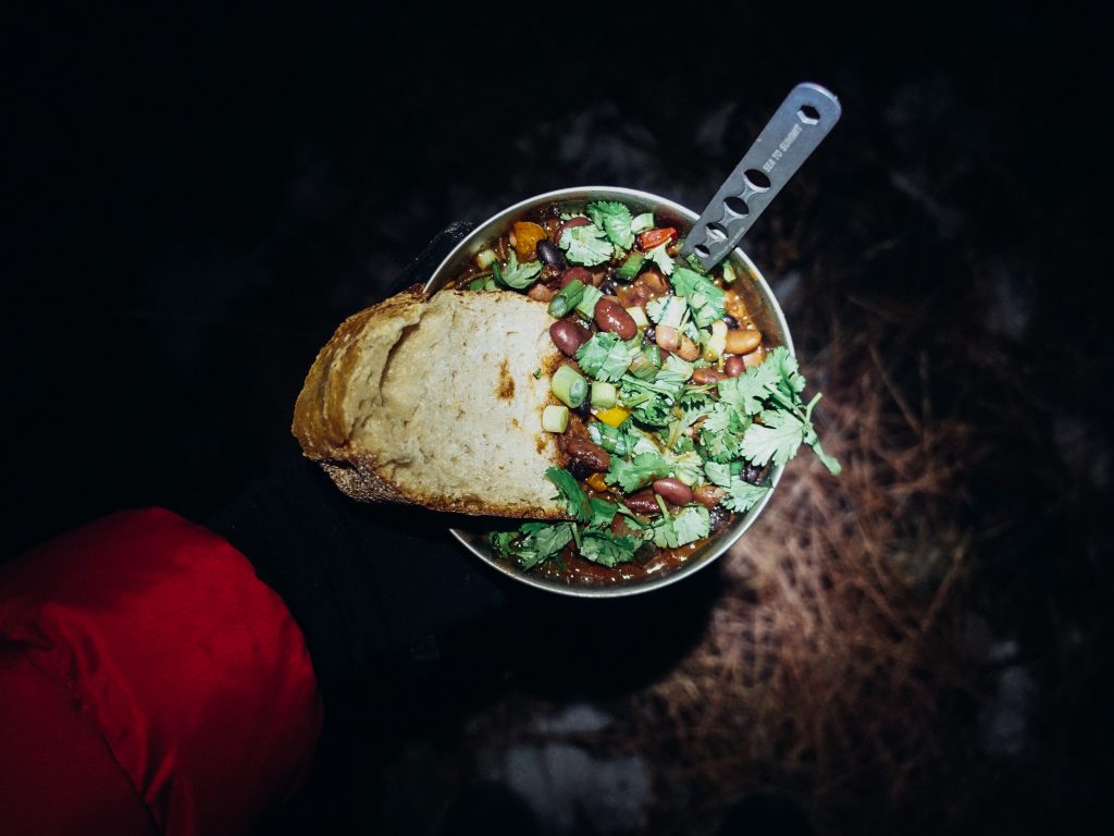
Tired from a long day, we hiked out of the work area towards the cars at 14:30 and made the ~4 mile trek back up Mendenhall Ridge Rd to Lightning Point Campground by 16:00. With extreme fire dangers and steady winds, we were not allowed to have campfires but that did not dampen our spirits. Despite the snow on the ground, cold temps, and high winds we ate a delicious dinner made by volunteer Ellen Kenney and enjoyed each others’ company until late into the night only to wake up and do it all over again.
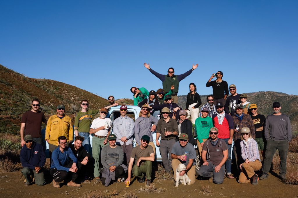
Following the same schedule as the day prior, we had another successful day restoring the Condor Peak Trail. By the end of the weekend, the Lowelifes Respectable Citizens’ Club has had 37 volunteers giving 443 hours of their time to restore 0.85 miles of the Condor Peak Trail and clear for car access 0.6 miles of 3N32C totaling 1.45 miles. Also, Angeles NF staff, Bryce Hofmann, Mike Paniagua, and Rec Tech Moris Sanchez helped out as well. LAGRD Assistant Rec Officer Bryce Hofmann is the liaison and project coordinator for LRCC and did a great deal of work to make this event happen. LRCC is excited to get back out there soon and continue in the restoration effort.
Special thanks to Golden Saddle Cyclery, Kyle Kelley, Mike Kalenda, Stephanie Ortega, Ellen Kenney, Robert Pettersen, Erik Hillard, Carson Blaker, Ester Song, Ray Juncal, and Eric Brunt for your generous help. The event would not have happened without you.
To stay informed of upcoming volunteer opportunities, follow us on Instagram @lowelifesrcc or send us an email and join our mailing list at lowelifesrcc@gmail.com.
There’s no life like Lowe life,
Matt Baffert
President
Lowelifes Respectable Citizens’ Club